Helping Travelers Discover the Best Photo Spots Through a Solo Design Sprint
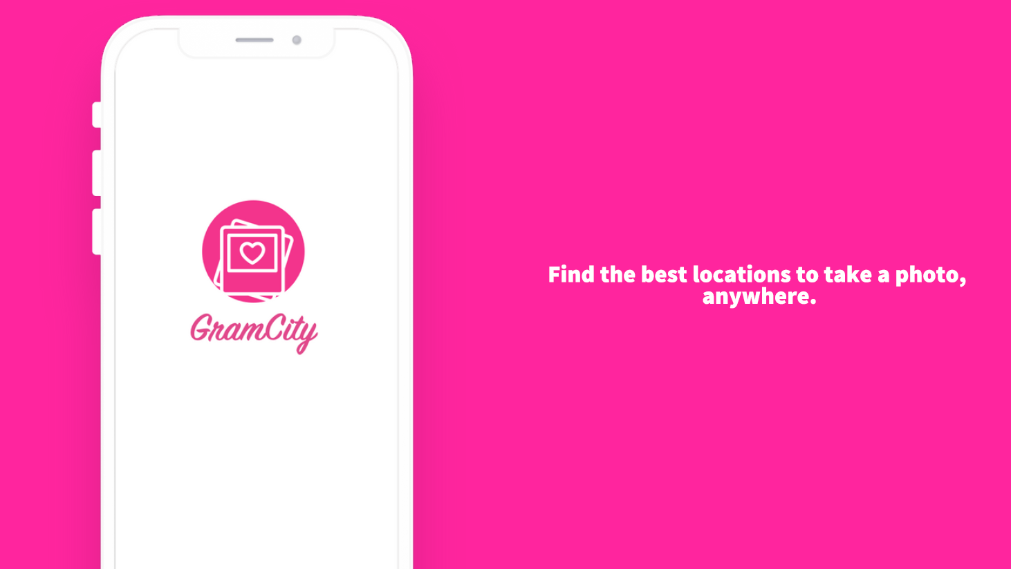
GramCity
GramCity is a conceptual feature for a photo-editing app designed during a self-led, five-day design sprint. The challenge was to help users find great photo locations when traveling. My solution allows users to input travel plans, discover curated and nearby photo spots, build a personalized itinerary, and contribute reviews and photos post-visit. From initial research and mapping to sketching, prototyping, and user testing, I executed every step solo—culminating in a high-fidelity prototype that emphasizes discovery, planning, and community-generated content.
Role: Sole UX/UI Designer
Start Date: February 25, 2025
Tools: Figma, Hand sketch
Introduction
Context
During this week, I worked on a modified GV design sprint with the goal of learning how this process works and training myself how to come up with a solution within a short amount of time. The main difference between what I performed versus the real GV design sprint is that I did everything by myself instead of with a team, and I was assigned a few options of topic which I could select from. Eventually, I chose to help with adding a new feature for an imaginary app called GramCity.
Designer’s role
As the sole designer of GramCity’s new feature, I first understood the problems by synthesizing the research, then I designed the map of the route. With the route, I sketched the most important screen, and then branched it out to a full storyboard. Lastly, I created the high fidelity screens and prototypes, which allowed me to test them on five different interviewees for further improvements.
Problem
The problem that I’m trying to solve here is how to allow the users of GramCity, a photo-editing app, to find great locations to take photos at.
Solution
I designed a route which encourages the users to input travel plans beforehand, explore, search, and add photo spots to the users’ itineraries, and once the user arrives at the city, users can refer to the detailed itinerary with previously added photo spots so that the user can navigate easily to the the specific spots. At the same time, users are constantly getting recommendations of other photo spots nearby so in case users desire, they can travel to other recommended photo spots while visiting the pre-selected spots. After the visit, users can add the reviews, photos, and comments of the photo spot so other users can refer to them when they make their plans for the same city, leading to a virtuous cycle and a promising ecosystem of GramCity’s new feature.
Day 1: Understand / Map
Research Synthesis
To kick off the sprint, I focused on deeply understanding the problem space. GramCity is a photo-editing app looking to expand its value by helping users find great photo spots while traveling. Through synthesizing provided research, I identified core user needs below:
Ability to look for places that are visually stimulating, with bold colors or with interesting composition
Ability to find hidden gems - places that not many people know about
Ability to find popular buildings and sites to take typical “touristy”photos
Ability to find good places near the users and get notified when nearby while traveling
Ability to know the places before visiting and plan around it and know how good each places are
Ability to find specific places where movie scenes were filed, historic sites, even when they are not that famous
Personas
I defined two key personas, Nick and Sarah, representing different user goals and behaviors. This helped ground my thinking in real use cases.
Nick: 24 years old, video editor, located in Los Angeles, CA
Sarah: 27 years old, event production manager, located in Chicago, IL
End-to-End Experience Map
I then mapped out the ideal end-to-end user experience, starting from entering a travel plan to discovering and saving photo spots, navigating to them on-site, and finally contributing reviews and content post-visit. This ecosystem-focused approach set the foundation for building a feature that’s not just useful in planning, but also in-the-moment and after the trip.
Day 2: Sketching
With a clear understanding of user needs and the experience map in place, I moved into rapid ideation through sketching. I began by analyzing related apps—like Instagram, Corner, Mozi, and Hypelist—through lightning demos to identify successful patterns in location discovery, social sharing, and itinerary planning. These references helped me understand how other products approached filtering by vibe, saving spots, and navigating maps. Below are some notable screenshots and reflections about competitor products researched for GramCity’s new feature.
Instagram’s save, collection, share with friends, and map features:
Corner (a personalized map app to share with friends)’s features such as finding locations on map, searching by vibes, looking for where friends’ went at certain cities:
Mozi (a social networking app)’s features such as asking for where the user is based and travel plans curation:
Hypelist (an app that allows users to create and share lists)’s features such as recommendations for nearby locations and thematic list, searching by keyword for location and theme recommendations, showing details of a user’s list
Using the Crazy 8s technique, I sketched multiple layout ideas for the key screen where users browse and add photo spots. Below is the Crazy 8s for the screen of selecting desired spots by filtering by themes or locations and browsing through photos:
Eventually, I selected the last screen (bottom right) and enhanced it a little bit as my solution sketch. The reason I selected the last screen is that it encompasses a comprehensive variety of features: within one screen, it allows the users to search by keywords, browse through the app based on specific locations, filter or sort by categories, and look at key photos, reviews, and locations.
After selecting the most critical screen, I made the below three-panel board of the screen that comes before the critical screen and after the critical screen. It illustrates the process of (1) confirmation that an itinerary / trip is added, (2) searching, browsing, and selecting for photo spots to be included into the itinerary / trip, (3) confirmation that a photo spot is added to the user’s itinerary / trip and that the user can continue to search, browse, and select for other desired photo spots.
Day 3: Create a Storyboard
Building on the sketches from Day 2, I developed a full storyboard to visualize the end-to-end user journey. I began by identifying the key entry and exit points from the experience map and used competitor app patterns as inspiration. Then, I branched out from my core solution screen to illustrate how a user would interact with the new feature—from planning a trip to documenting their visit.
The storyboard covers 11 distinct steps:
User decides to add the travel plan in GramCity
User edits the details of the travel plan by inputting the city name, dates, and a brief description
User saves the travel plan to his/her profile
User looks for photo spots for his/her travel plan by browsing through the map, the reviews, photos, searching by keywords, or filtering on the topics, vibes, or other categorizations
User adds the desired spots to his/her itinerary
(User travels to the new city)The home page of the app identifies that he/she is in the new city and shows the travel plan and photo spots nearby
User clicks on the travel plan to see the details of the itinerary with his/her pre-added photo spots
User clicks on a pre-saved photo spot from the app to see the details of the photo spot and sees that spot is nearby
User clicks on the address of the photo spot to view where it is as well as recommendations of other nearby photo spots
User decides to use google map to direct him/her to the photo spot
(User arrives at the spot and takes photos)User returns to the screen no.8 (where it shows the details of the photo spots) of GramCity and clicks on the “visited” button, which allows him/her to upload photos, post reviews, input comments, and save.
This flow not only supports discovery and planning but also encourages community contribution, creating a sustainable and helpful ecosystem within the app.
Day 4: Build a Prototype
With the storyboard finalized, I translated the concept into a high-fidelity prototype consisting of 12 key screens. These screens captured the full experience—from planning and saving trips, to browsing photo spots, navigating in real time, and posting reviews post-visit. I think it is important to really allow the users to assess if the photo spots suit him/her and if so, how he/she should arrive there. I also added the feature where the user can explore nearby spots for any photo spots that she/he plans to visit, providing more convenience to the user. Finally, I think it’s important for the user to add photos, comments, and reviews, generating a positive ecosystem for the app, allowing other users to obtain more accurate and more comprehensive information of various photo spots.
The site map, as reflected by the bottom menu, consists of four main branches, including home (which consists of the user’s future trips, with an emphasis to the current trip if there is one ongoing), plan (for users to explore photo spots within a city based on ratings, reviews, comments, and photos), saved (which is comprised of any photo spots that are saved and can be further categorized based on different boards), and profile (which is the setting page).
As the goal here is to help users to find great locations to take photos at, the more the app know about the user’s travel plans, the better recommendations it can give, therefore, I placed a rather large “add” icon in the middle of the bottom menu to more proactively solicit users to input any existing or tentative travel plans and prompt users to explore recommendations of photo spots.
Below is the interactive prototype:
Day 5: Validate my Designs
To evaluate the effectiveness of the prototype, I conducted usability testing with five participants using the Five-Act Interview method. My goals were to assess whether users could intuitively navigate the flow, understand the purpose of the feature, and see value in using it over existing tools.
Overall, participants responded positively to the concept and UI. They appreciated the clean design, the ability to plan trips and explore nearby photo spots, and the integration with Google Maps for navigation. Several users said they would use this feature in real life. However, the testing also uncovered actionable feedback: some users suggested clarifying icon functions, improving button hierarchy, and refining image layout to enhance scannability. Others recommended improving text legibility and adding onboarding cues for new users.
These insights validated the overall concept while offering meaningful opportunities for refinement. I left the sprint with clear directions for improvement and confidence that the feature addressed real user needs in a usable and engaging way.
Conclusion
This solo design sprint was a valuable exercise in rapid problem-solving, end-to-end thinking, and self-directed execution. Within five days, I took an abstract challenge—helping users find great photo spots while traveling—and turned it into a tangible, tested product experience. From mapping the user journey and sketching key interactions to prototyping and validating with real users, each step sharpened my ability to prioritize, design efficiently, and iterate with purpose.
The sprint also strengthened my visual design and Figma skills, and reinforced the importance of balancing user delight with practical constraints. Most importantly, it showed me how even a small, well-scoped feature can create a meaningful and scalable ecosystem. If GramCity existed today, I’d be one of its users.